Limitations of the Irrigation Planner
There are three important caveats and limitations to the estimates of water flows produced by the Irrigation Planner program: small-scale landscape features may not be accounted for, unsuitable soils can inhibit wetland creation, and our projections are based on only the average results of water releases.
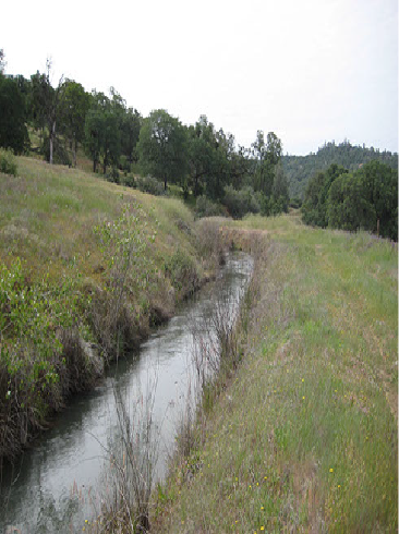
1. The estimates of water flows are based on 10-meter resolution elevation maps and thus will miss fine-scale features of the landscape that may divert water in unexpected ways. In particular, channels smaller than 10 meters across may be missed in the map but will drain and redirect water. These channels can be manually drawn on the map using the “Create Channel” tool for more realistic results.
2. Differences in soils can impact the likelihood of wetland formation. Wetlands tend to form in medium-fine to fine textured soils such as silty loams and silty clays. Locations with sandy soils will result in high water infiltration and greater difficulty in establishing a wetland, though can be improved by spreading organic soils over the area (Technical Guidance for Creating Wetlands, Section III). Our estimates are optimistic in this regard because our model is based on the amount of water applied to known wetlands, and thus may be biased towards suitable soils. We advise that you gather field soil samples to confirm that they are suitable before attempting to create any wetlands on your property.
3. The actual spread of water from the release point may dependent on the type of gate/valve used and velocity of water being released; our flows are based on the averages from real-world data, but do not capture this variability.
Keep these in mind as you work with the planner!