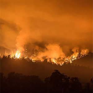
It’s become clear that many recent fires have ignored the boundaries of the wildfire hazard maps. When embers can be carried by winds and fire related weather between 1-5 miles, then this poses a challenge to whether the current hazard zone maps and classifications are appropriate. While the State, CALFire, academics and universities, NIST and other federal agencies study this, it may be time for local governments to apply a higher standard of care to their level of risk and default to the highest hazard classification, while also moving to adopt a wildfire code that exceeds the state minimum.
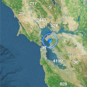
Can I rely on these wildfire hazard maps to identify if my community, neighborhood or home is at risk?