By Christine Wilkinson, PhD Candidate
–Update from the Field–
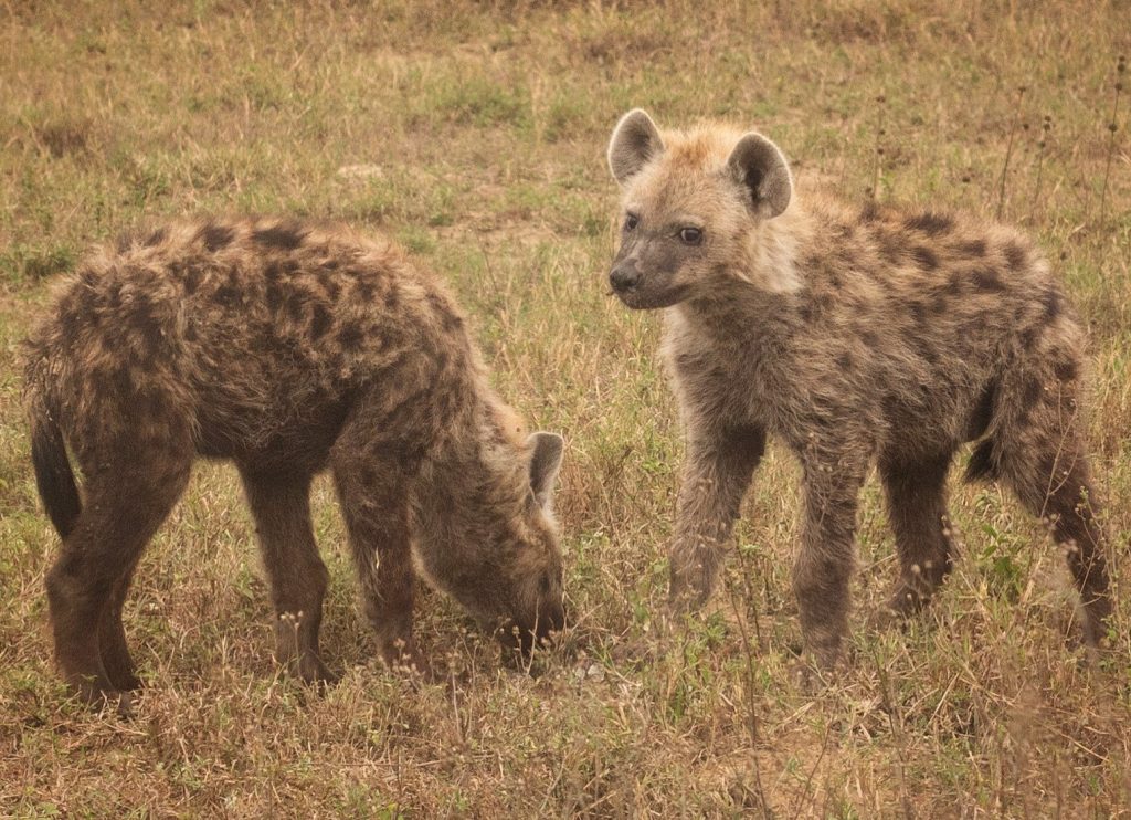
Multidisciplinary work can be both difficult and exciting. With the support of National Geographic, for the past six months I’ve been in the field trying to gain a nuanced understanding of human-carnivore conflict and carnivore movement in areas surrounding Lake Nakuru National Park and Soysambu Conservancy in Kenya.
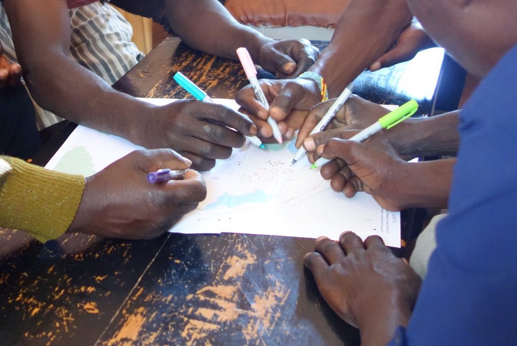
This project is different from anything I’ve done previously because of how much it crosses disciplines. The field work has several parts, including 1) community participatory mapping and interviews about risk perception, land use, and carnivore attacks on livestock, 2) camera trapping to determine carnivore movement across the fence that surrounds the national park, 3) mapping historical carnivore-livestock conflict reports, and 4) GPS collaring of spotted hyena-a species highly implicated in predation on livestock. My research is guided by the idea of creating multidisciplinary maps and spatial analyses to holistically understand and describe carnivore-livestock conflict and inform management.
Elevating the voices of people who routinely deal with conflict is worth it
As an ecologist and wildlife biologist by background, jumping into participatory work with communities has been by far the most challenging part of the project. The ecological methods come much more naturally to me. However, I believe that bringing communities into the process as fellow researchers and elevating the voices of people who routinely deal with conflict is worth it. Along with ecological research on the conflict, working with communities can create a powerful and encompassing story that can be more impactful for future management. So far, the community members seem to feel the same!