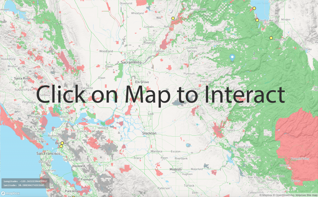
To help aid in your collection expedition, we have provided an interactive map (below) where you can drag a marker around to find potential collection locations for your next expedition. Please read the information below to make sure you are collecting in legal areas!
Areas you CAN Collect
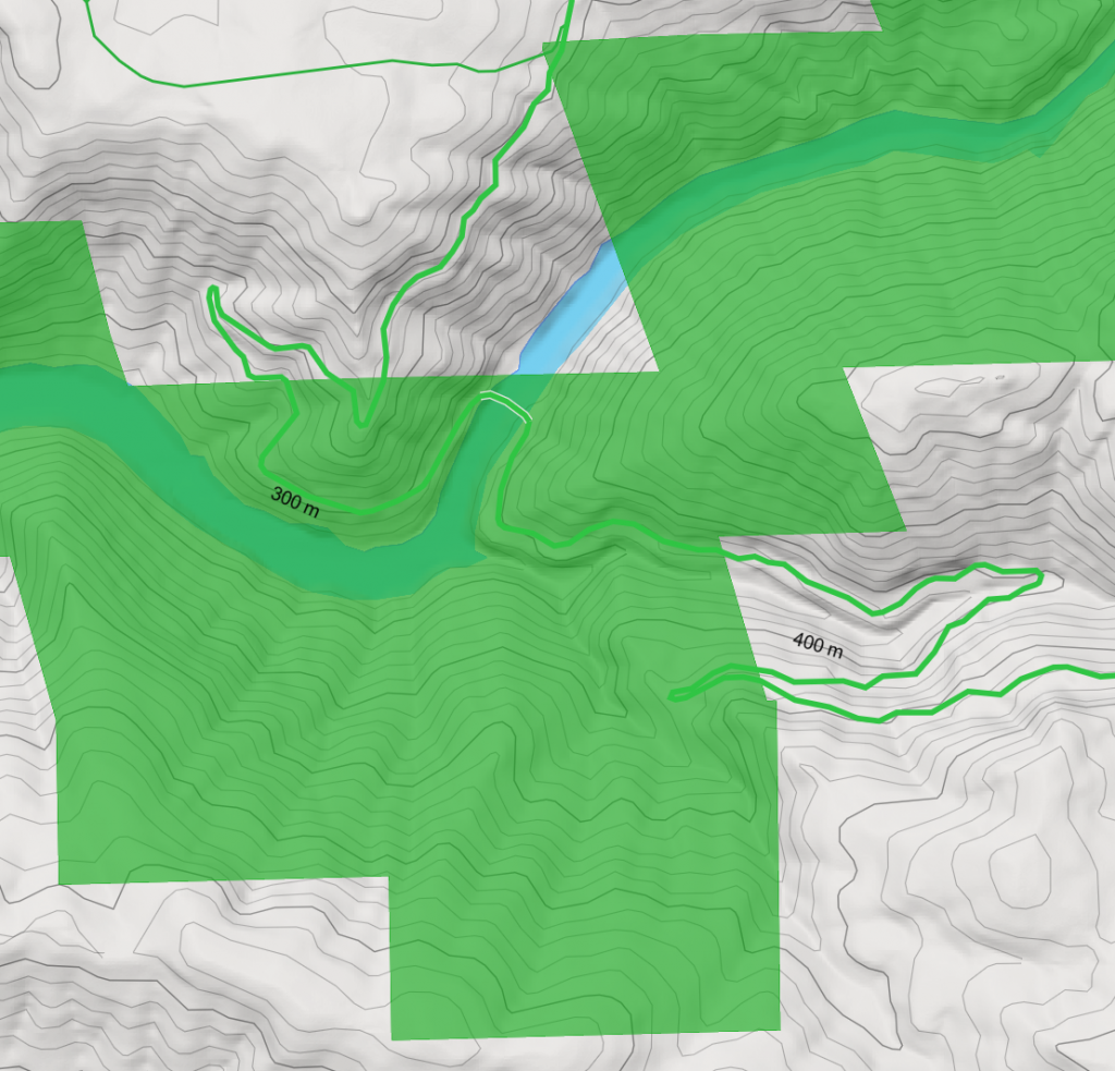
Green areas on the map are locations you CAN collect from without a permit.
Areas you can NOT Collect
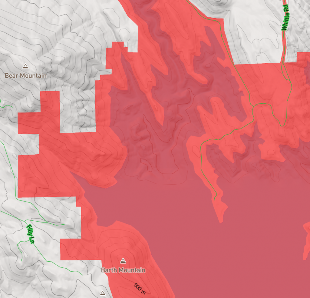
Red areas on the map are locations you can NOT collect from without a permit.
Areas you need to CHECK
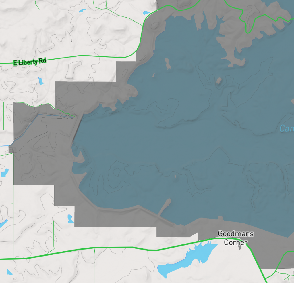
Gray areas on the map are locations owned by local government and so you will need to CHECK with your city or the county first. Let them know that Tetragnatha spiders are exempt of collecting permits from CA Fish and Wildlife.
Drag the marker around to see the GPS coordinate for that location and see if it’s an area that is okay to collect from.
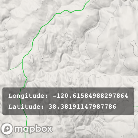
The GPS coordinates will show on the bottom left hand corner of the map
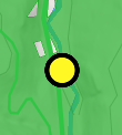
Locations that have already been sampled are indicated with a yellow dot
Example Collection Locations
Alameda
Alpine
Amador
Butte
Calaveras
Colusa
Contra Costa
Del Norte
El Dorado
Fresno
- Avocado Lake Park
- Choinumni Park
- Inyo National Forest
- Kings River Green Belt Park
- Laton-Kingston Park
- Los Gatos Creek Park
- Lost Lake Campgrounds
- Sequoia National Forest
- Sierra National Forest
- Skaggs Bridge Park
- Thornburn River Access Park
- Tumey Hills Loop
- Winton Park
Glenn
- Big Chico Creek Day Use Area
- Butte City Launch Facility
- Mendocino National Forest
- Ord Bend Park Boat Launch
Humboldt
Imperial
- Ferguson Lake
- Finney Lake
- Ramer Lake
- Senator Wash North Shore
Inyo
- Baker Creek Campground
- Diaz Lake Campground
- Inyo National Forest
- Taboose Creek Campground
- Tinnehama Creek Campground
Kern
King
Lake
Lassen
- Bizz Johnson National Recreation Trail
- Eagle Lake Marina
- Lassen National Forest
- Modoc National Forest
- North Eagle Lake Campground
- Plumas National Forest
- Rocky Point East Campground
Los Angeles
Madera
Marin
Mariposa
- McCabe Flat Campground
- Merced River Recreation Area
- Railroad Flat Campground
- Sierra National Forest
- Stanislaus National Forest
Mendocino
Merced
Modoc
Mono
Monterey
Napa
Nevada
Orange
Placer
Plumas
Riverside
Sacramento
San Benito
San Bernardino
San Diego
San Francisco
San Joaquin
- Jacob Meyers Park
- Paradise Point
San Luis Obispo
San Mateo
Santa Barbara
Santa Clara
Santa Cruz
Shasta
- Balls Ferry Fishing Access and Boat Ramp
- Clear Creek Greenway
- French Gulch County Park
- Hat Creek Park
- Lassen National Forest
- Pit River Campground
- Shasta-Trinity National Forest
- Whiskeytown National Recreation Area
Sierra
Siskiyou
- Klamath National Forest
- Lassen National Forest
- Modoc National Forest
- Shasta-Trinity National Forest
- Six Rivers National Forest
Solano
Sonoma
Stanislaus
- Basso Bridge
- Fox Grove Park
- Laird Regional Park
- Las Palmas
- Riverdale Park and Fishing Access
- Shiloh Fishing Access
- Turlock Lake Fishing Access
Sutter
Tehama
- Bend Bridge Park
- Camp Tehama
- Ishi Wilderness
- Lassen National Forest
- Mendocino National Forest
- Mill Creek Park
- Shasta-Trinity National Forest
- Tehama County River Park
Trinity
Tulare
Tuolumne
Ventura
Yolo
- Cache Creek Regional Park (CLOSED – Fire)
- Camp Haswell (CLOSED – Fire)
- Capay Open Space Park
- Clarksburg Boat Launch
- Knights Landing Boat Launch (CLOSED – Construction)
- Putah Creek Fishing Access (CLOSED – Fire)
- Vernon A Nichols County Park
Yuba

