The data collected by the SODMAP Project is available as a Google Earth overlay. Don’t have Google Earth? Download it for Free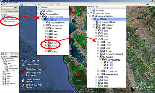
SODMAP will open in the “Temporary Places” panel on the left hand side of the Google Earth screen. If the “Places” panel is not visible it can be viewed by pulling down the “View” menu and selecting “Sidebar”. SOD positive and SOD negative results as well as individual years and collections may be expanded, collapsed, and checked on/off in the “Places” panel. The map legend may also be toggled on/off in the “Places” panel.
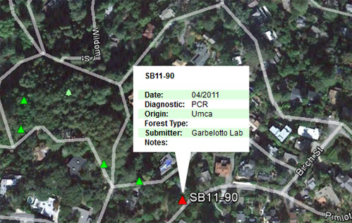
The details of individual collection records may be viewed by mousing over and clicking on them.
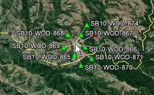
Zoom in to view points that are close together. Overlaid points will spiderfy when moused over.
 |
Tree, including California bay laurel, that was not infected with P. ramorum |
 |
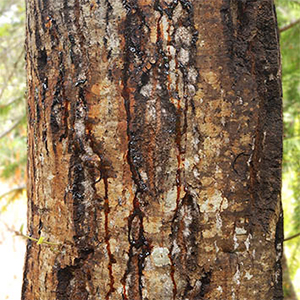
Tree, including California bay laurel, that was infected with P. ramorum |
 |
SOD Symptomatic oaks or tanoaks found nearby |
 |
An oak or tanoak tree that was not infected with P. ramorum |
 |
An oak or tanoak tree that was infected with P. ramorum |
 |
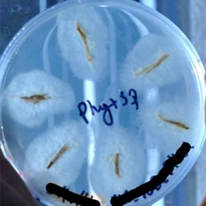
Water sample that was not infected with P. ramorum |
 |
Water sample that was infected with P. ramorum |
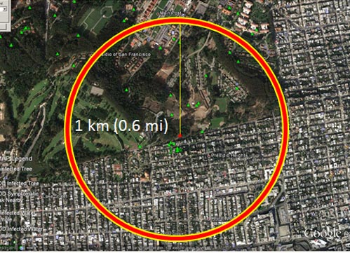
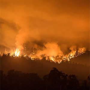
Geographic areas within 1 km (0.6 mi) of a confirmed positive tree sample are at a high risk of becoming infected. The 1 km recomendation does not apply to water samples.
USDA Forest Service, State and Private Forestry
The Gordon and Betty Moore Foundation