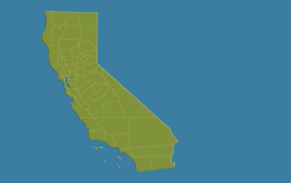
A frustrating reality of modern climate science is that quantifying and modeling regional changes in the frequency/intensity of extremes due to global warming remains subject to considerable uncertainty. Events such as floods, droughts, heatwaves, and storms are precisely those with the greatest potential to inflict harm upon human and natural systems—making process-based understanding of underlying atmospheric and coupled Earth system processes critically important. Fortunately, there has been much recent progress in the field of “extreme event attribution,” as well as substantial advances in understanding the thermodynamic component (i.e., that relating directly to increasing temperature and atmospheric moisture) of increasing extreme event risk. But it has also become increasingly apparent that spatially and temporally non-uniform changes in atmospheric circulation will play an important (if highly uncertain) role. Recent evidence suggests that this may be especially true in places with large natural background climate variability, such as California—where a large increase in the risk of both extreme wet and extreme dry events is anticipated despite little change in average precipitation. In this talk, I will offer perspectives on these recent developments in the field of climate extremes, and discuss recent work on increasing “precipitation whiplash” in California in the broader context of climate risk assessment and adaptation.
Thinking about climate risk in an era of extremes: California’s increasingly wide swings between drought and flood


